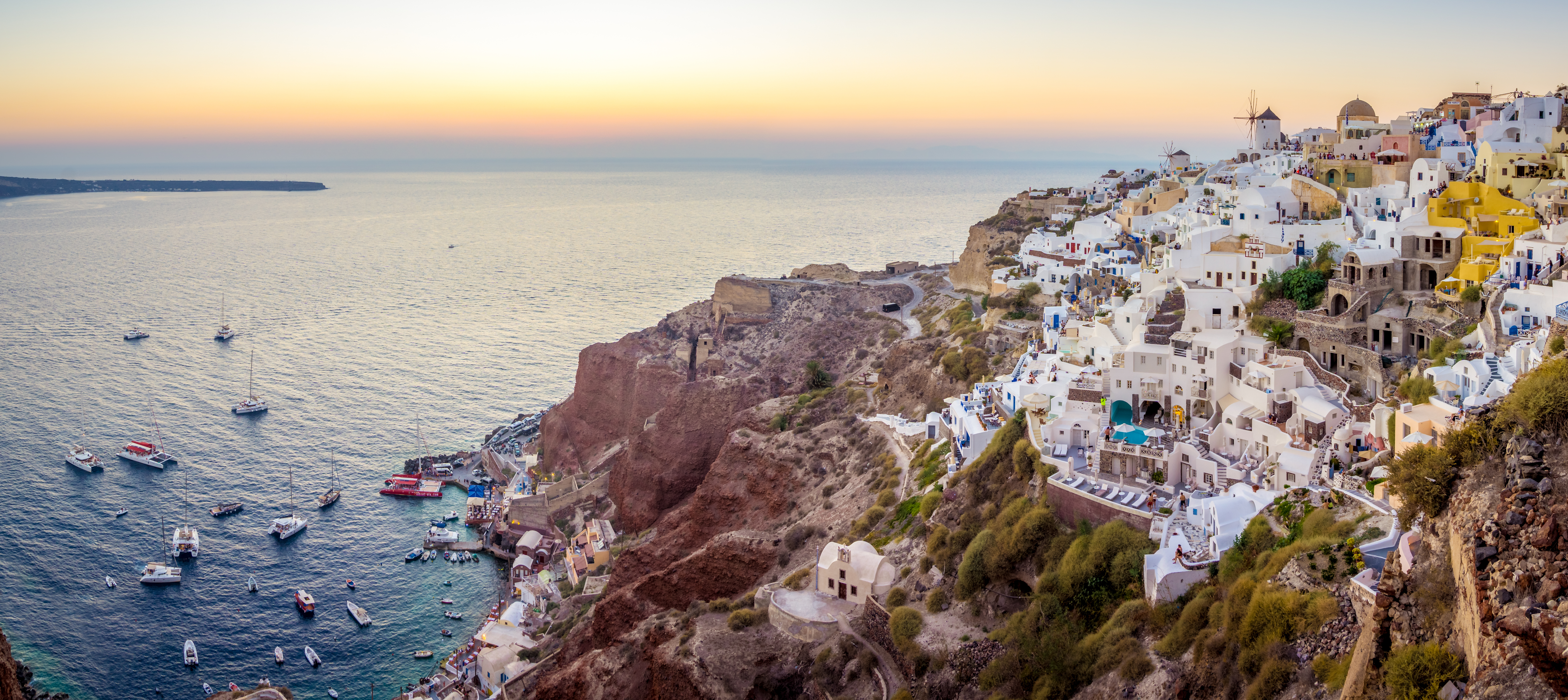
Riva

The Port of Riva is being developed in Riva - Agia Irini Thirasia. Administratively, it belongs to the Municipal Community of Thirasia, Municipal Unit of Oia, Municipality of Thira, Regional Unit of Thira, South Aegean Region. The specific position shows full compatibility with the institutionalized spatial and urban planning commitments of the region.
The port infrastructure includes:
- a pier made of reinforced concrete with a surface area of 952.9m2.
- a pier 22m long, made of natural boulders next to the jetty to the south.
-Two rudimentary rock-cut transverse arms towards the coast, 10m and 13m long respectively, south of the pier.
-Transverse to the coast breakwater, made of natural boulders, 85m long and located 500m north of the pier.
The Port of Riva is the only port of Thirasia that is connected by road to the rest of the island. Therefore, it is of particular importance for the local economy, as it is the only gateway through which goods and other material goods can be transported and traded to and from Thirassia.
It is characteristic that from the other port of Thirasia, Korfos which is located below the capital of Thirasia, Manolas, access from land is ensured only through paved steps. In addition, in Limenas it is possible to serve fishing boats, increasing its importance for the local economy.
The port of Riva was of particular importance during the Roman era, when the trade in the Cyclades and in general in the Aegean had passed into the hands of Roman merchants, bankers and other businessmen who settled occasionally or on a permanent basis in key points for their transactions and exploited the local wealth producing sources.
There are no industrial or other craft activities near the port. The port of Corfu is located at a distance of 1.8km S-SE. The operation of the port clearly has a positive impact on a significant number of other economic activities.
The position brings together the following advantages:
It is located outside the nationally protected areas of Law 3937/2011 and at a distance of 6km NW of the nearest EZD (TKS) with code GR4220003 "New and Old Kammeni - Prophet Ilias".
The port of Riva essentially consists of a pier with a head width of about 24.5m and a length of about 35m. The O/Cs of the Cycladic line and the open-type O/Cs routed on the Athens line dock/moor at this pier.
Next to the pier there is a jetty made of natural boulders, approximately 22m long, which in combination with the pier creates a rudimentary slipway into which (under mild wave conditions) and always for a limited time, the boat that connects the island with Santorini with daily routes enters (no more than three in winter).
Characteristics
Opening hours: 24 hours
Παροχές
 WC
WC Electricity infrastructure
 Fire Network
 Water Infrastructures
 Catering infrastructure
Ship Traffic (Live)

Here you can find a map with the movement of ships in the area in real time. Find out which ships are currently in the waters at the port facility and track their route in real time. The service is provided by MarineTraffic.com
Weather forecast


Sights

Useful Phone Numbers / Links


